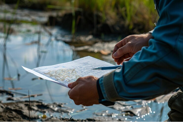
Lakes are vibrant ecosystems, home to fish, plants, insects, and countless microscopic organisms. But understanding what’s happening below the surface requires more than just observation—it calls for lake mapping. This method, which involves creating detailed maps of underwater features, helps researchers, ecologists, and lake managers protect and sustain aquatic habitats.
Understanding Aquatic Habitat Through Depth Profiles
Depth is one of the most critical factors in any aquatic habitat. Certain fish prefer deep, cool waters, while others gather near shallow, sunlit areas. Lake mapping reveals these zones with precision. It’s more than just knowing how deep the lake goes—it’s about knowing where each depth supports specific types of life.
Mapping helps distinguish between spawning areas, feeding grounds, and resting zones. These insights allow fisheries and conservation groups to create sustainable environments for various aquatic species.
Revealing Substrate Types With Bottom Mapping
Not all lake bottoms are the same. Some are muddy, others are sandy or rocky. These differences matter because aquatic organisms rely on specific substrate types. A bass may spawn in gravel beds, while aquatic plants might root best in soft sediment.
The lake mapping exposes these differences, helping teams determine where to focus efforts. Whether it’s planting vegetation, protecting spawning zones, or removing invasive species, understanding substrate distribution is key to healthy habitats.
Locating Aquatic Vegetation And Its Role
Underwater plants are more than just scenery. They provide oxygen, shelter, and breeding grounds for fish and insects. Through lake mapping, researchers can identify vegetation clusters and assess their health.
Changes in plant density or type often signal shifts in the ecosystem. Mapping makes these changes visible over time. It also helps pinpoint areas that need protection or management, especially where native vegetation is being overtaken by invasives.
Tracking Changes Over Time Using Mapping Data
One of the greatest strengths of lake mapping is its ability to monitor changes. Over years, sediment builds up, water levels shift, and human activity leaves its mark. Regular lake mapping sessions build a timeline of changes, helping scientists predict and prevent long-term damage.
By comparing maps from different periods, we can catch early signs of erosion, nutrient overload, or habitat loss. This kind of foresight is crucial for long-term aquatic health.
Supporting Fishery Management And Recreation
Lake mapping doesn’t only serve scientific goals—it supports better fishing and recreational planning. Anglers use mapping data to find fish-friendly habitats. Lake managers use it to create safe swimming zones or route boats away from sensitive areas.
When fishing pressure is high, maps help rotate active areas, giving overused habitats a chance to recover. This balance between use and protection wouldn’t be possible without reliable, updated lake maps.
Improving Water Quality Assessment
The layout of a lake influences how water moves, how oxygen circulates, and where pollutants settle. Mapping helps scientists identify stagnant zones or nutrient traps, which can lead to harmful algal blooms.
Knowing these risk areas enables quicker responses. Whether it’s aerating certain zones, applying treatments, or adjusting runoff controls, lake mapping informs every decision tied to water quality.
Conclusion
Lake mapping is more than a technical process—it’s a powerful tool that opens windows into life below the surface. By showing us the lake’s physical layout, it helps preserve the balance that aquatic ecosystems depend on. From protecting habitats and guiding conservation to supporting fishing and water quality, the impact of lake mapping is deep and lasting. For anyone invested in the health of lakes, mapping is not optional—it’s essential.

